Cabane de Bourchardière
The place
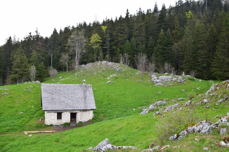
Log cabin. Water point: No water point nearby. The cabin doesn't appear on the IGN map. GPS coordinates read off carto-exploreur, pinpointing the refuge's position as best as possible. * CABIN DESTROYED * By the trail between l'Olette and the Bec de l'Aigle. 150m SW of point 1033?
Getting there
Log cabin. CABIN DESTROYED.
The setting
By the trail between l'Olette and the Bec de l'Aigle, 150 m SW of the 1033 m elevation point (Vercors, Isère, 45.14°N 5.60°E, 1035 m). Does not appear on the IGN map. No water point nearby.
A bit of history
Une photo de février 2005 montre la cabane en rondins encore intacte. Un signalement de 2016 décrit une dégradation avancée : seul un mur arrière tenait encore debout, soutenant précairement le toit ; le poêle avait disparu, des rondins étaient éparpillés au sol. Aucune cause précise de destruction (incendie, avalanche, vandalisme) n'est documentée — seule une dégradation progressive est constatée.