ModéréItinéraireAller-retour
Wicklow Way
Jours
7
Distance
94 km
D+
2916 m
Le lieu
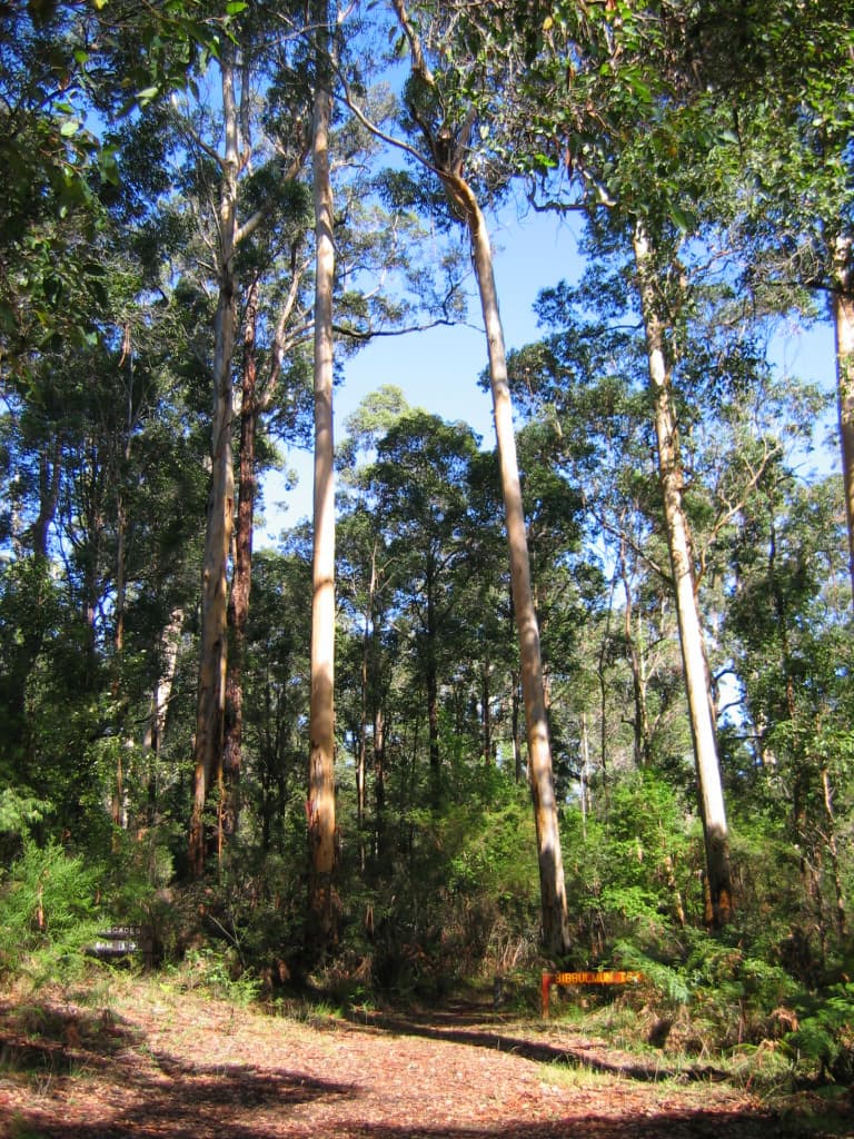
Ireland's oldest waymarked trail runs from Marlay Park on the southern edge of Dublin through the Dublin and Wicklow Mountains to the small County Carlow village of Clonegal. The route mixes forest tracks and fire roads with open heather moorland on granite uplands in its northern and central sections, before dropping into gentler farmland and forestry plantation country toward the finish. It passes directly through Glendalough, the sixth-century monastic settlement founded by St Kevin in a glaciated valley with two lakes, the trail's best-known landmark. Waymarked throughout with the yellow walking-man symbol, the northern moorland sections can be very wet underfoot while the southern stages follow quieter lanes and boreens.
Jour par jour
- 1J1 · Marlay Park → Knockree14.42 km · +447 m
- 2J2 · Knockree → Roundwood14.42 km · +440 m
- 3J3 · Roundwood → Glendalough7.93 km · +216 m
- 4J4 · Glendalough → Glenmalure10.09 km · +346 m
- 5J5 · Glenmalure → Moyne (Aghavannagh)15.14 km · +505 m
- 6J6 · Moyne → Shillelagh17.30 km · +360 m
- 7J7 · Shillelagh → Clonegal15.14 km · +281 m