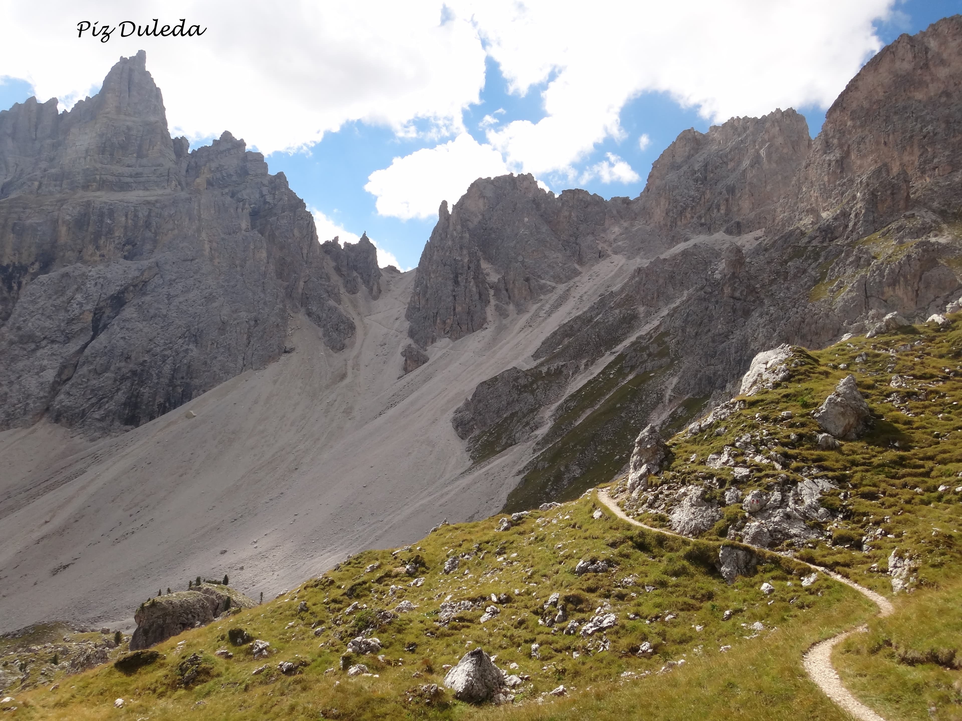
Cape Wrath Trail (Fort William → Cape Wrath)
Le lieu
The Cape Wrath Trail is Britain's most remote and challenging long-distance walking route: approximately 370 km from Fort William to Cape Wrath — the most north-westerly point of mainland Britain — over 20–25 days. Entirely unofficial, with no consistent waymarking, it crosses some of Scotland's most dramatic and isolated landscapes: Knoydart (the 'last great wilderness' of Scotland), Torridon's ancient sandstone mountains, the bogs of Sutherland and the wild north coast. Navigation skills are essential; river crossings can be dangerous in spate. The Cape Wrath Trail is for experienced, self-sufficient hillwalkers only.
L’intérêt
Knoydart Peninsula (only accessible on foot or by ferry — no road). Sandwood Bay (one of Scotland's most beautiful and remote beaches). Quinag and Suilven (spectacular Torridonian sandstone peaks). Cape Wrath lighthouse at Britain's NW tip. Red deer, golden eagles, otters.
Un peu d'histoire
Popularised by David Paterson's 1996 guidebook, the Cape Wrath Trail has no official status and no single definitive route — it is a concept, a general line from south to north, with numerous variants. Its allure lies precisely in this freedom and the sheer remoteness of the country it crosses.
Y arriver
Fort William: train from Glasgow (2h15) or Inverness (1h30). Cape Wrath: minibus ferry across the Kyle of Durness then minibus to the lighthouse. No public transport to Cape Wrath — must arrange return.
Matériel recommandé
Tent (mandatory). Waterproof sleeping bag. Navigation by OS 1:25 000 maps and compass (no phone signal in many areas). Emergency PLB or satellite communicator. Trekking poles. River sandals for crossings. Full waterproofs.
La saison
May to September. June–August: best weather, long days, severe midges. May and September: fewer midges, potentially colder. Avoid October–April.
Jour par jour
- 1S01 · Fort William → Glenfinnan26.00 km · +700 m
- 2S02 · Glenfinnan → Morvich (Kintail)38.00 km · +1200 m
- 3S03 · Morvich → Strathcarron32.00 km · +900 m
- 4S04 · Strathcarron → Torridon (Beinn Eighe)36.00 km · +1000 m
- 5S05 · Torridon → Kinlochewe28.00 km · +700 m
- 6S06 · Kinlochewe → Shenavall Bothy (Fisherfield)38.00 km · +1100 m
- 7S07 · Shenavall → Ullapool (An Teallach)35.00 km · +900 m
- 8S08 · Ullapool → Rhiconich (Assynt & Sutherland)50.00 km · +1000 m
- 9S09 · Rhiconich → Sandwood Bay (via Kinlochbervie)30.00 km · +500 m
- 10S10 · Sandwood Bay → Cape Wrath24.00 km · +400 m