Refuge de Vallonbrun
© Parc National de la Vanoise
The place
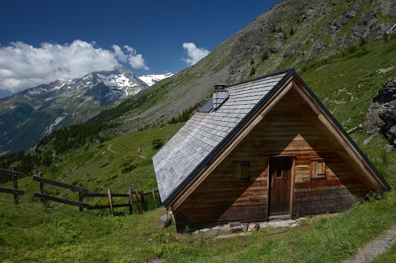
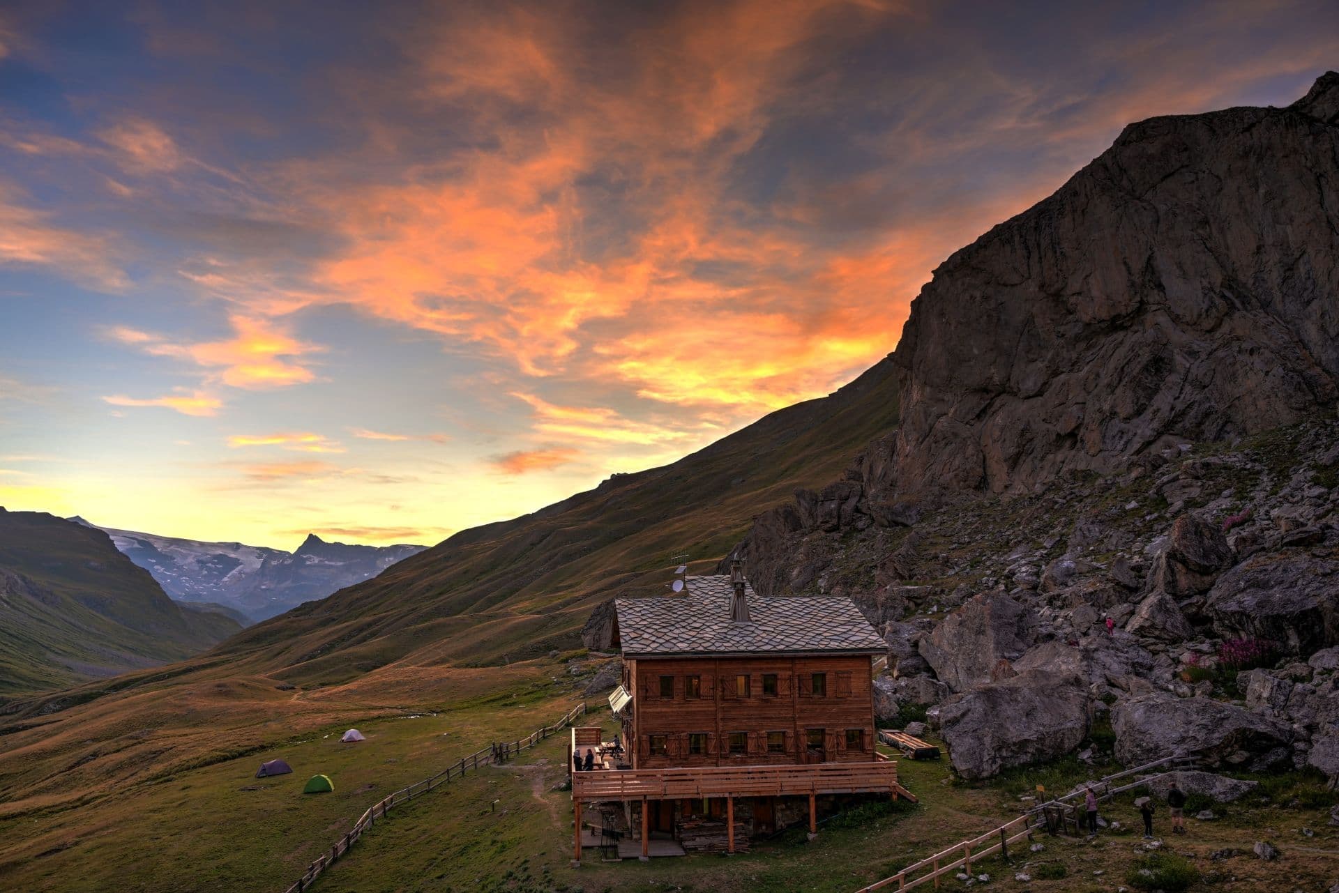
Capacity: 6 A former chalet built in 1819, renovated and converted into a hut in 1969. THE HUT IS STAFFED: In summer: mid-June to mid-September. The hut is also staffed during the winter holidays. OUTSIDE STAFFED PERIODS: Access to the common room (a gas-cooking corner), the dormitory and the dry toilets. Please note there is no water at the hut in winter and outside staffed periods (the spring dries up in autumn). To keep these services running, please leave the hut clean and tidy and pay your usage fee. Haute Maurienne (south-east Vanoise), right bank of the Arc, Grand Roc Noir sector. Mapping: IGN 1:25000 sheet 3634 Ouest "Lanslebourg-Mont Cenis". The new "Top 25" maps cover a somewhat larger area. The hut lies on the GR5, which here serves as a balcony trail along the right bank of the Maurienne. Several access routes: - either from Lanslevillard, via "Le Coin" and the "Plan de la Cha", - or from the hamlet of Le Collet, on the small road to the (false) Col de la Madeleine, via Le Mollard - or via the Grattais forest road (starting near Pré Clos on the D.902), via La Fesse d'en Bas. Vanoise National Park Warden: Ms Hélène DEGANO Email: refuge.vallonbrun@vanoise-parcnational.fr Official site: https://refuge-vallonbrun.vanoise.com/
Getting there
L'été, deux itinéraires sont praticables : depuis le parking des Grattais (piste puis sentier forestier), ou depuis le parking du Collet de la Madeleine (sentier dallé via le Mollard) — environ 500 m de dénivelé, sans passage technique, pour 2h de montée et 45 min de descente. L'hiver, le départ se fait à pied, en raquettes ou en ski de randonnée depuis le parking du Pré Clos (1678 m) selon l'enneigement, un départ depuis Lanslevillard restant également possible.
The setting
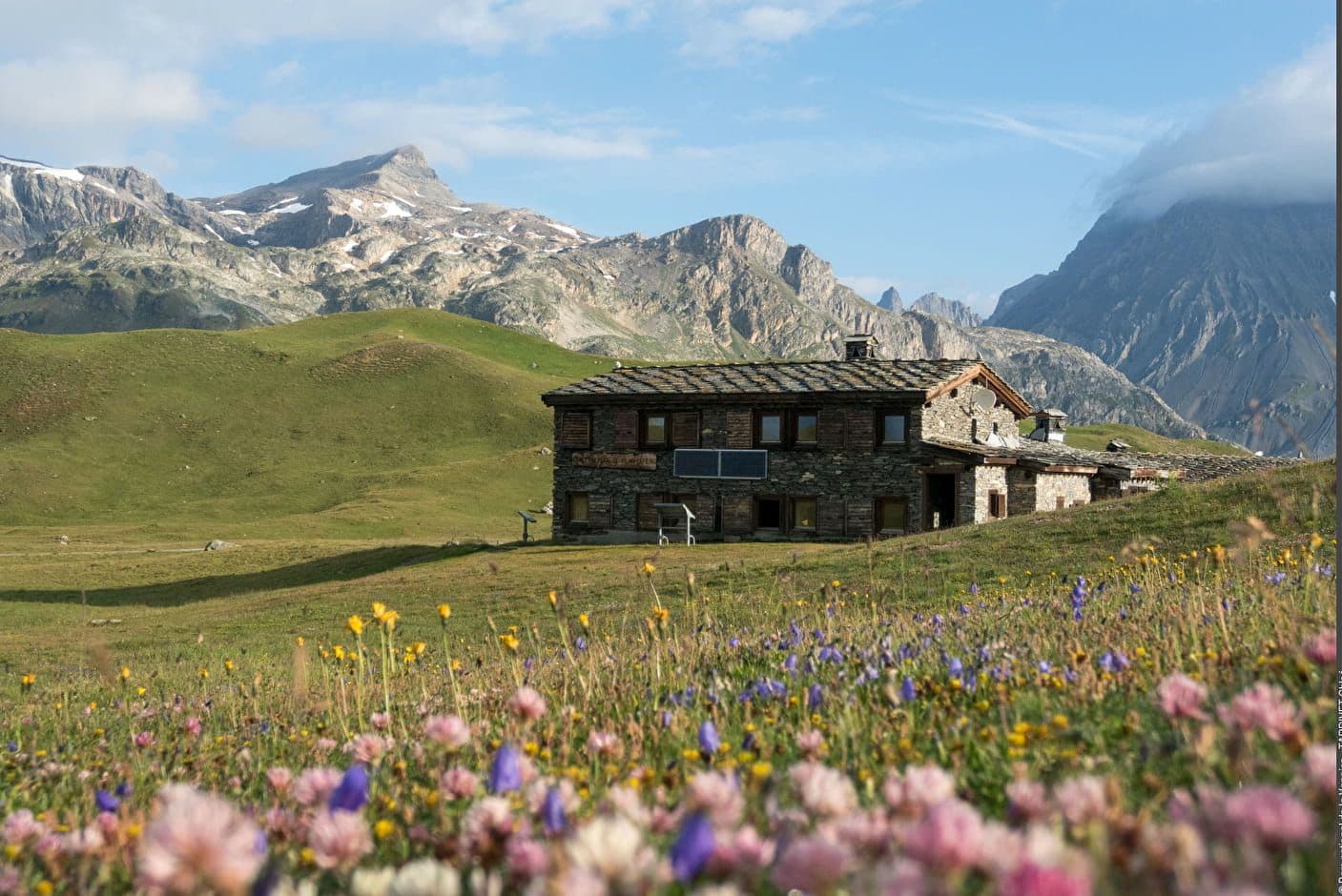
En entrée du Parc national de la Vanoise, ce refuge borde le GR5 et le circuit du Méan Martin, avec un panorama sur l'Albaron, la Dent Parrachée, la Meije et les Aiguilles d'Arves.
A bit of history
Ce bâtiment, à l'origine un chalet d'alpage édifié en 1819, a été rénové puis converti en refuge en 1969. Son architecture traditionnelle en pierres sèches s'inscrit à 2272 m d'altitude, en étape du GR5, dans le massif savoyard de la Vanoise.