Sans nom
Suðurland · IslandeCloseVerified listing
The place
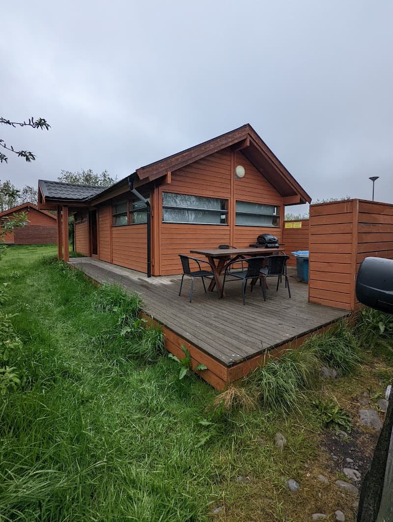
Former unnamed refuge at 0 m in southeast Iceland (coordinates 64.12°N 18.43°W, possibly on the edge of Vatnajökull National Park, Europe's largest glacier). DB status: closed. The 0 m altitude is consistent with a coastal or sandur (glacial outwash plain) location. Possibly an FÍ (Ferðafélag Íslands) hut or a coastal emergency shelter (Slysavarnafélagið Landsbjörg).
Getting there
Listed as closed in the DB. Identity to be confirmed with the FÍ (Ferðafélag Íslands) or Vatnajökull park authorities.
The setting
Southeast Iceland, edge of Vatnajökull National Park (sandur or coast).
What you'll find
WC