Sans nom
The place
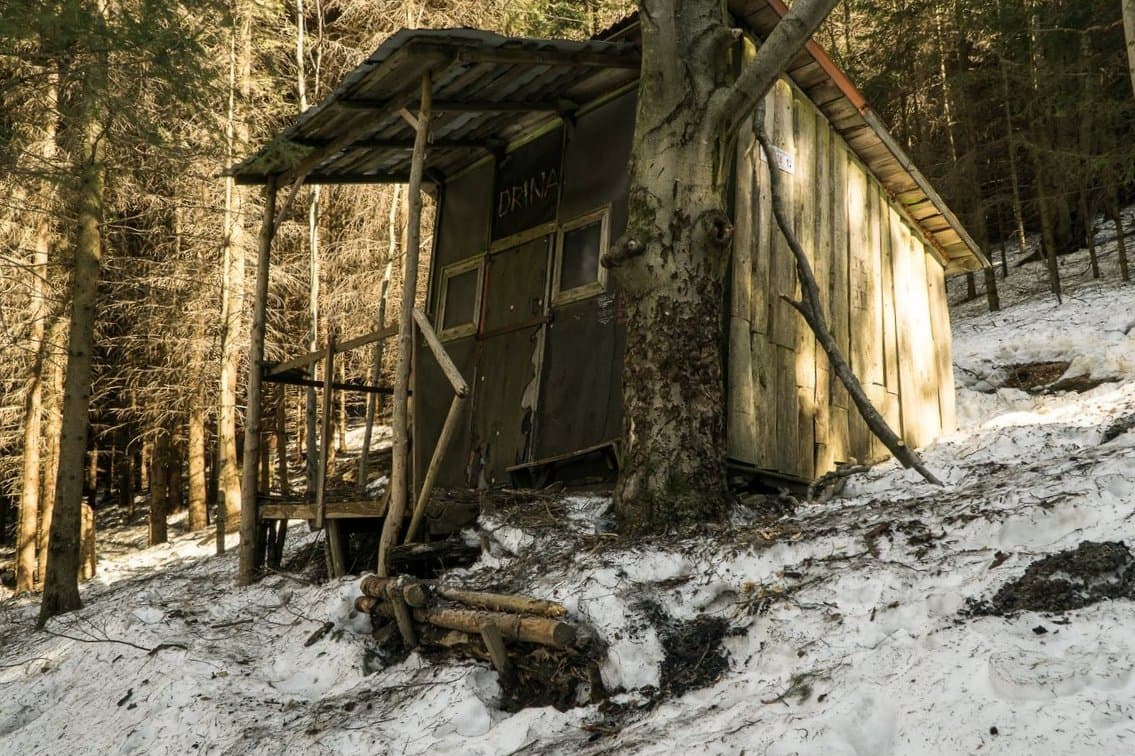
Small shelter (schronisko or bacówka) at around 856 m in the Bieszczady massif, the far southeast of Poland, in the Eastern Beskids — a natural border with Slovakia and Ukraine. The area, around coordinates 49.03°N / 22.70°E, corresponds to the slopes near Cisna and the Łopiennik summit (1069 m). The Bieszczady are a charming terra incognita for Polish tourism, with subalpine vegetation (połoniny) and an iconic fauna (European bison, lynx, wolves, brown bears). The Bacówka pod Honem (663 m), 15 minutes from Cisna, serves as a reference point for the PTTK shelter network that marks the long-distance trails. A basic shelter used on the routes toward Tarnica (1346 m), the highest point on the Polish side, and the Bieszczady shelter network.
Getting there
PTTK trails from Cisna or Wetlina, toward Bieszczady National Park.
The setting
Bieszczady (Eastern Beskids), subalpine zone (połoniny), bison and large predators.