Polinikhütte
The place
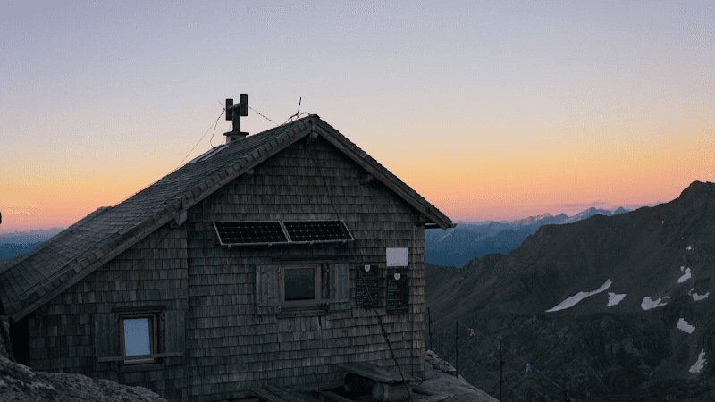
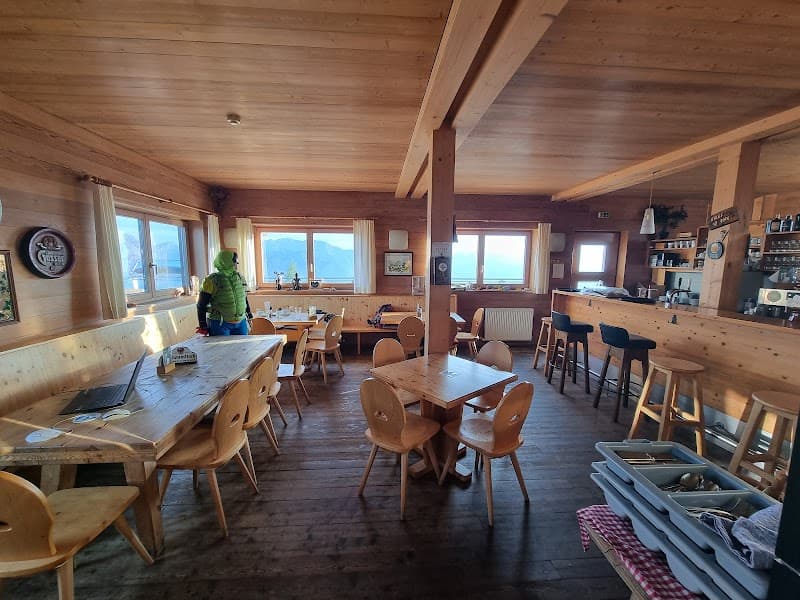
Polinikhütte: An Authentic Mountain Refuge The Polinikhütte is a hut managed by the Mölltal section of the Austrian Alpine Club, located in the Kreuzeck massif. Geographic Location Altitude: 1884 meters, on the north-east slope of the Mölltaler Polinik. Access From Wunzenalm: 1.5 hours' walk. From Obervellach: 3 hours' walk. Neighboring Huts The hut is linked to the Feldnerhütte (2182 m) via the Polink pass (2784 m), 11 hours' walk away. Hiking Routes Mölltaler Polinik (2784 m): 3 hours. Ebeneck (2122 m): 1.5 hours. Rauchkopf (2176 m): 2 hours. Gamskar (2580 m): 2.5 hours. Maps KOMPASS map No. 49: Hohe Tauern South National Park, Mallnitz, Obervellach, Maltatal, Mölltal. Official Website For more information: [Alpenverein.at - Polinikhütte](web_link) References No information null
Good to know
Koordinaten vom ÖAV zur Verfügung gestellt