Masters Shelter
The place
"Masters Shelter" at 466 m altitude is a listing with an Anglo-Saxon name, with no obvious match to a listed shelter on the Appalachian Trail or elsewhere. No public source consulted describes this point precisely. To be identified via official databases (ATC, PATC, AMC) before any use.
Getting there
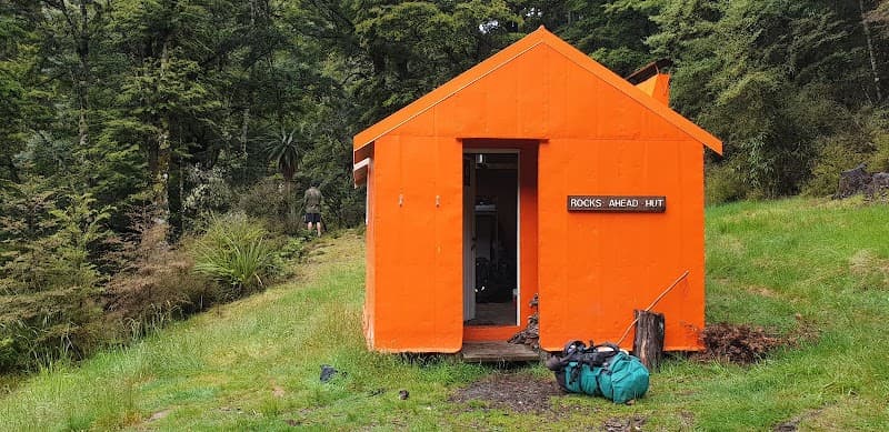
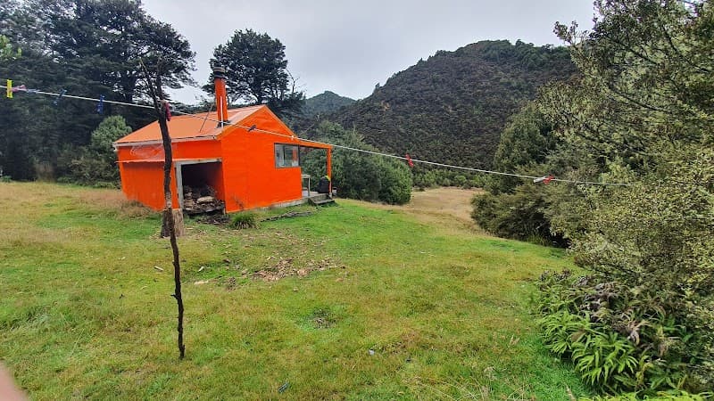
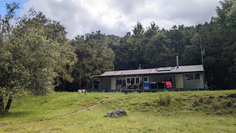
Concrete block shelter. Access via Mangleton Road (45 km from Hastings or 60 km from Napier): 1.5 km by car across paddocks → parking and park boundary. Masters Shelter 100 m further. Golden Crown Ridge Track starts behind the shelter (2-3 h walk).
The setting
Ruahine Forest Park (Hawke's Bay region, North Island), 39.63°S 176.32°E. Starting point of the Golden Crown Ridge towards the Ruahine range.
A bit of history
Shelter named in honor of Lester Masters, a Hawke's Bay hunter. Built of concrete blocks.