Les Combes
Auvergne-Rhône-Alpes · France0 mUnguardedVerified listing
The place
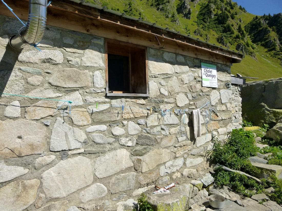
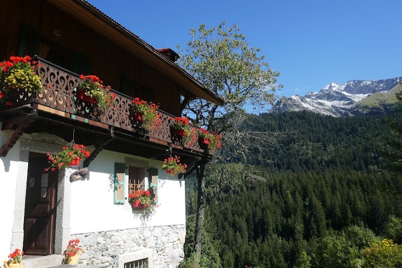
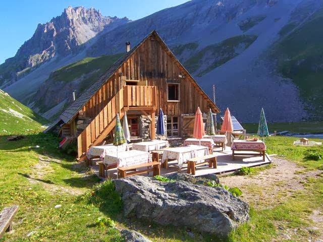
At "Les Combes" I only saw a group of residential and working buildings for an active agro-pastoral operation. Not having asked the farmers for hospitality, I don't know what the 'shelter' pictogram shown on the IGN maps might mean. Those who follow may have better luck or insight.... From La Sauce, via a mountain-pasture road (rutted...)
Getting there
'Shelter' pictogram shown on IGN maps, but the location corresponds to an active agro-pastoral operation — hospitality must be requested from the farmers. TO BE AUDITED — not an independent refuge.
The setting
From La Sauce via a rutted mountain-pasture road. Residential and working buildings for an active agro-pastoral operation (Beaufortain, Savoie, 45.39°N 6.44°E, 1750 m).
What you'll find
boispoêle à bois