Kay Creek Hut
The place
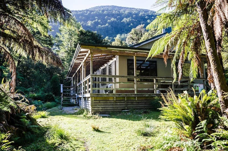
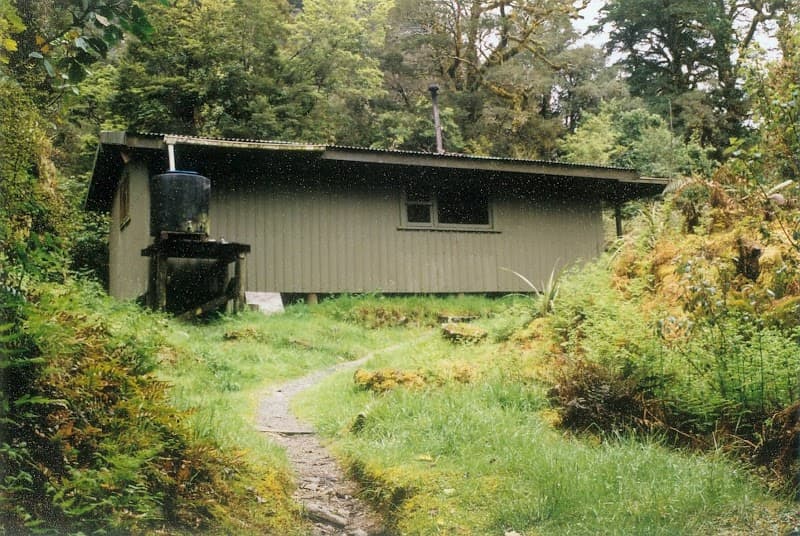
Kay Creek Hut is a basic 4-bunk DOC hut at 917 m elevation in the Queenstown/Wakatipu area (Otago, NZ). Located in the Humboldt Range at the confluence of Kay Creek and Death Valley, about 45 km northwest of Queenstown. Access via the Kay Creek Track (an advanced tramping route, 6.2 km) that starts at a junction between Mid Caples Hut and McKellar Hut on the Greenstone and Caples Track. Built in the early 1960s as a musterer's hut; roofing and wall materials were air-dropped by parachute. Recently renovated by Geoff Ockwell and the University of Otago PE School in partnership with DOC and the Southern Lakes NZDA.
Getting there
Kay Creek Track (advanced route, 6.2 km) from the Greenstone and Caples Track.
The setting
Humboldt Range, Otago (NZ). Confluence of Kay Creek and Death Valley. 45 km northwest of Queenstown.
What you'll find
On site
Good to know
pit latrine