Хата чабанів
Stable
The place
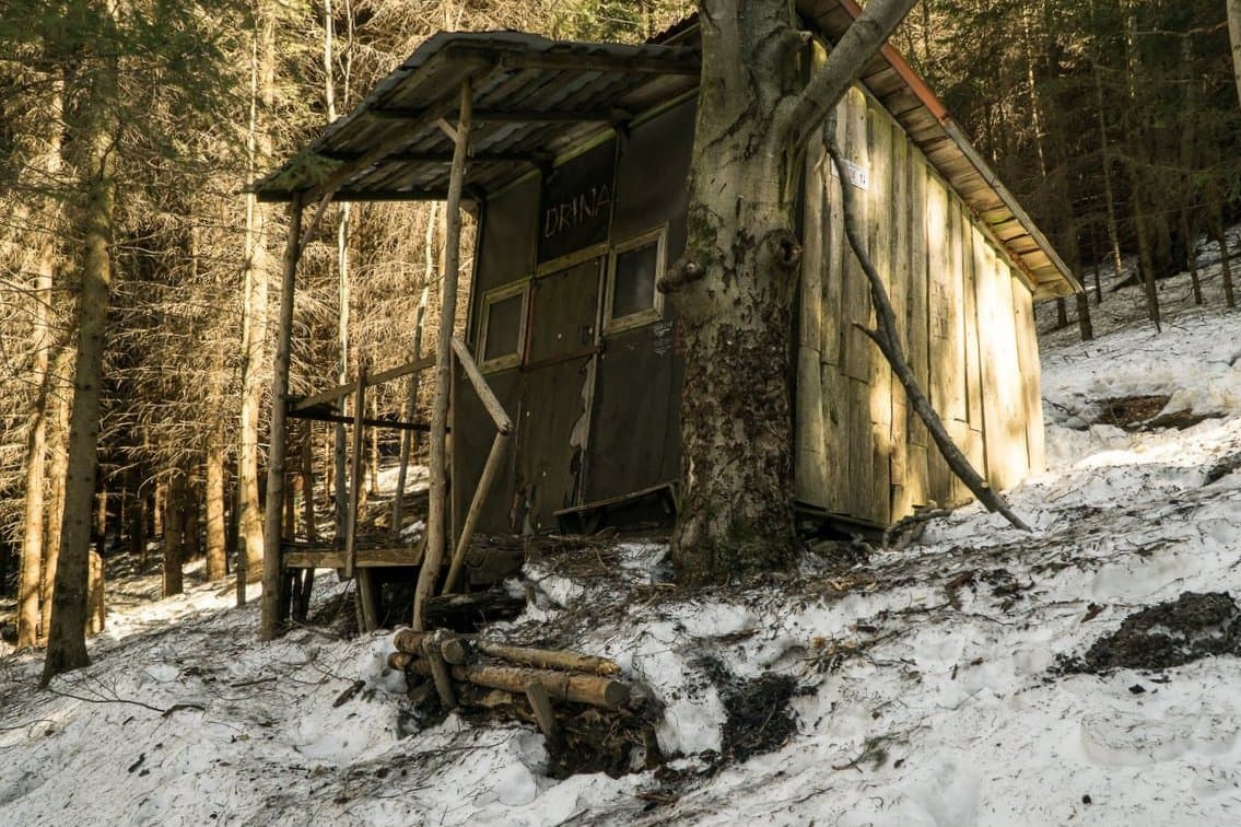
Khata chabaniv ("Shepherds' hut") in Ivano-Frankivsk oblast, Verkhovyna/Kryvopillya area (Ukrainian Carpathians, Hutsul region, Ukraine), at 1460 m elevation, in the Chornohora sector. Part of a continuous Ukraine Carpathians cluster (batches 220-337). **MIS-ATTRIBUTION CORRECTED**: country_id Romania (CWI27o) → Ukraine (olfQuGdL) — coordinates 47.98/24.57 clearly place it in Ukraine (Chornohora, ~5 km north of the RO border), already corrected for other Bukovina entries in batches 316+326. A Hutsul pastoral hut (a people of the eastern Carpathians, 100,000 strong, with hay barns called "koliba" and "sadyba" built of charred timber, and the tradition of the vatah, the head shepherd of the summer alpine kolyba), in the Chornohora, "Black Mountain" (Hoverla, 2061 m, Ukraine's highest peak).
The setting
Ivano-Frankivsk, Verkhovyna/Kryvopillya, Hutsul region, Ukraine, 1460 m, Chornohora, continuous cluster batches 220-337, MIS-ATTRIBUTION corrected RO->UA, already corrected in batches 316+326, Hutsul khata chabaniv, 100,000 Hutsuls, charred-timber koliba/sadyba, vatah head shepherd, summer alpine pasture, Chornohora, Hoverla 2061 m, Ukraine's highest peak.