Refuge de l'Estrop
The place
Capacity: 40 Beautiful hikes, notably [->1120]. See the hut's website: http://lerefugedelestrop.e-monsite.com/ Access routes: - From the south, along the upper Bléone valley, from Prads, with cars to be parked at "Les Eaux Chaudes." The trail, first on the right bank and climbing gently, then crosses to the left bank and begins climbing through woodland. Leaving the forest, you come into view of a beautiful waterfall on the Bléone, as the trail crosses a crumbling spur along a narrow ledge. By then you will have passed several gullies that call for caution early in the season (rockfall, snow slides). Past the waterfall's rock lock, gently sloping alpine meadows lead the rest of the way to the hut. - From the north, several options exist, the most direct (also the most "alpine") being to follow the Lavercq valley up from [->1693] (cars generally do not go beyond the hamlet of L'Abbaye, 5 km further north, see [->1689]), take one of the branches of the Eaux-Tortes trail (east or west), reach the lakes and from there skirt to the east a large rock band coming off the Tête de l'Estrop, climb the scree/snowfields topped by a notch located at the eastern foot of the Tête, which you should aim for (possible rockfall from the summit ridges). From there, you make a detour to the right, crossing several terraces/ledges so as to follow the torrent (the Bléone) at some distance. You then arrive heading south-east near the hut. Bookings: phone 06.32.06.05.65, 04.92.31.19.62. Dormitory and common room open in winter: access via the upper floor, by the staircase on the west facade of the hut
Getting there
Plusieurs itinéraires pédestres balisés, aucun accès carrossable. Depuis Prads-Haute-Bléone : 3h de marche, +850 m de dénivelé, balisage jaune, gué du torrent de Male Vesse puis piste jusqu'au hameau de la Combe. Depuis La Foux d'Allos via la Baisse de l'Aiguille : 3h30, +700/-500 m, balisage jaune et rouge. Depuis La Foux d'Allos via la Baisse de l'Auriac : 3h, +550/-350 m. Depuis l'Abbaye du Laverq (vallée de l'Ubaye) via le Col de la Petite Barre : 6h30, +1200/-650 m, 12 km. Depuis la Cabane des Mulets (vallée de la Blanche) par le Pic des Têtes : 6h30, non balisé jusqu'au Pic des Têtes.
The setting
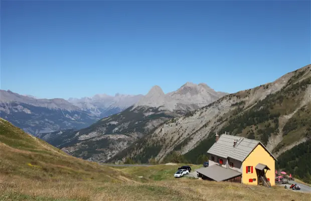
Le refuge (refuge Roger Carles, surnommé « refuge du Chant du Monde » en référence au roman de Jean Giono) est situé dans les Alpes de Haute-Provence, sur la commune de Prads-Haute-Bléone, aux sources de la Bléone, au pied de la Tête de l'Estrop (2961 m). Construit entre 1979 et 1986 par l'ADRI (association pour le développement des refuges internationaux) à l'initiative de Jean-Louis Caribou, avec 10 000 journées de travail bénévole sur 7 ans. Le site permet la randonnée, l'escalade dans le vallon de l'Estrop, la pêche, le parapente, la cueillette, le VTT et le ski de randonnée selon saison.
A word from the warden
En 2024, le refuge est géré par trois gardiennes : Lisa, Lise et Noémie. À partir de 2026, Lise et Noémie en assurent seules la responsabilité. Le refuge (bâtiment « Roger Carles ») a été construit entre 1979 et 1986 par des bénévoles et chantiers de jeunes, avec des matériaux locaux.