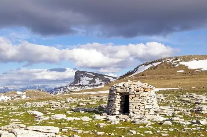
Refuge du Col de Vassieux
© refuge.info
The place
Unstaffed hexagonal wooden shelter in the Vercors (Drôme), at 1,363 m altitude near the Col de Vassieux. Single room with a table and a fairly new stove; sleeping upstairs on a wooden floor, no mattresses. Capacity of 10 to 15 people. Water at the Fontaine du Plainet, about 15 min away. Several possible access routes: from the Col du Rousset via the ridges (2h30), from Chamaloc via the GR (2h30 to 3h). Open year-round.
Getting there
Depuis le Col du Rousset : env. 2h30 par le sentier de crête à travers falaise et forêt. Depuis Chamaloc : 2h30 à 3h par le GR (départ du sentier peu évident à repérer). Depuis le But Saint-Génix : sentier non balisé, peu visible (se repérer au balisage vu en sens inverse).
The setting
Cabane hexagonale en bois isolée sur la crête du col de Vassieux (1363 m), massif du Vercors (Drôme). Forêt à moins de 100 m, fontaine permanente du Plainet à 1/4 h. Présence signalée de loirs dans le bâtiment et de renards aux alentours. Réseau GSM (Orange) faible et intermittent.
A word from the warden
Refuge non gardé, en accès libre, entretenu par ses usagers sous la tutelle du Parc naturel régional du Vercors ; aucun message officiel de gardien/gestionnaire disponible sur le site.
What you'll find
Good to know
Beds planned: 20 Hexagonal wooden refuge, a single room. It is in every respect identical to the Refuge des Chaumailloux (Hauts Plateaux) A large table and stacked sleeping platforms. The whole thing is well thought out and pleasant. A permanent fountain 1/4 hour away (le Plainet) via the forest track, where it meets the road. Water about 1km to the N: http://www.refuges.info/point/2194 *GSM network: weak signal outside (Orange) on the new landing; you need several attempts, but it eventually gets through (voice and data) with risk of dropouts.* From the Col du Rousset, 2h30 via the ridges (lovely): from the tunnel exit, go a little way down the road and take the path cut into the cliff, then follow it through the forest for 5min then cut through the woods towards the southeast to reach the ridges and follow them to the col. Via Chamaloc, 2h30-3h: you need to join the GR a little below Chamaloc, not easy to find down there between two fields, but afterwards it's well marked and climbs gradually to the col. At the col: the refuge is hidden in a clearing impossible to spot from the col. You reach it by following the ridge a little, or, if conditions are bad, it's better to detour via the road and the fountain/forest hut, following the 4x4 track that leads to the refuge. From the But Saint Génix: It isn't shown on the sign and the start of the path is barely visible coming from the but St Genix (maybe clearer in summer?). You need to look at the sign from the other direction to identify it (But de l'Aiglette ↔ But Saint Genix) Parc Regional du Vercors.