Cabane Ste Catherine
The place
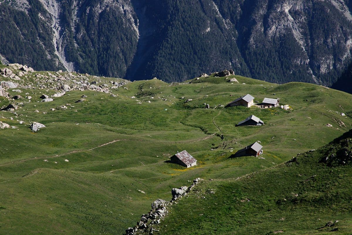
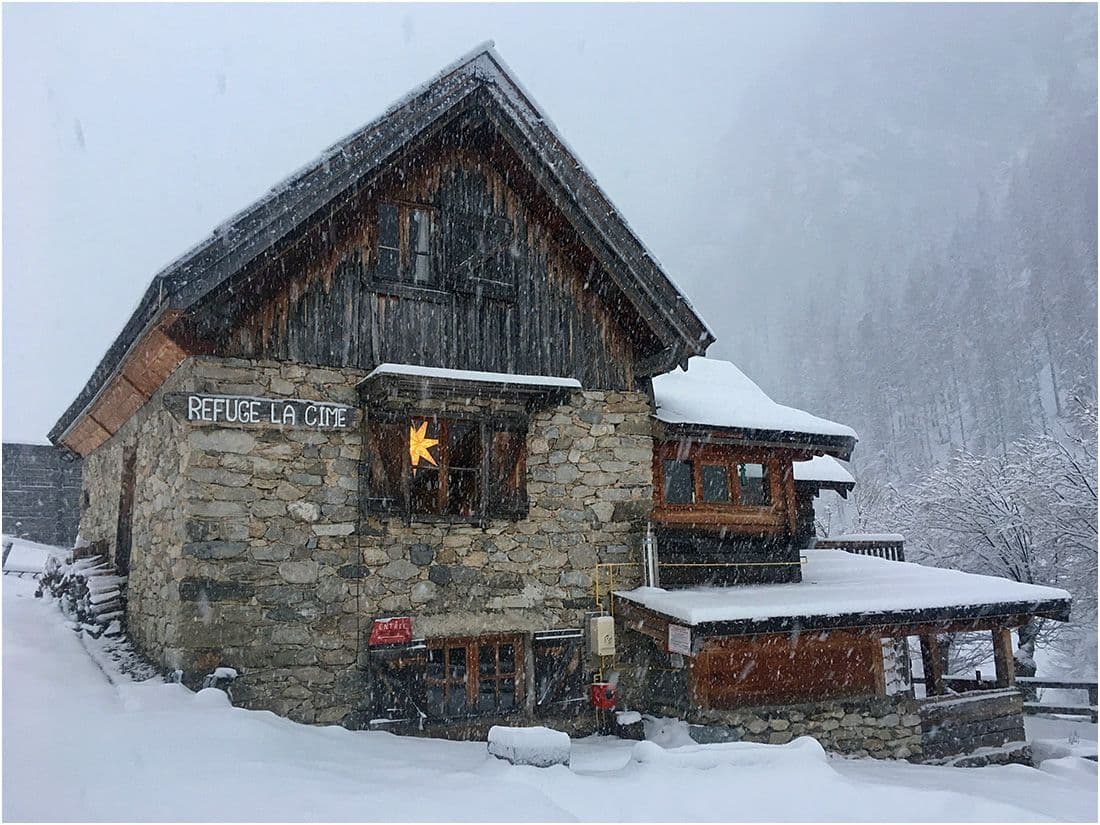
Unstaffed hut set at 1,080 m in the Queyras massif (Hautes-Alpes), listed on the IGN map 3537ET Guillestre / Vars / Risoul / Queyras Regional Nature Park. Located at the transition between the Embrunais and the Queyras, on the fringe of the Queyras Regional Nature Park (established in 1977, one of the most emblematic French regional parks for the conservation of alpine pastoral and architectural heritage). The place name "Sainte Catherine" is common in the alpine mountains, often linked to a chapel, a spring, or a former rural place of worship. A basic, freely accessible building, a rustic stopover for hikers on the trails linking Saint-Crépin, Guillestre and the Queyras valleys. Forest and mineral setting of the mid-altitude Queyras area: larches, Mediterranean pine forests, dry meadows, high-altitude beech-fir forests. Emblematic wildlife: chamois, ibex (reintroduced), marmot, golden eagle, griffon vulture. Historic location on the old salt-smuggling routes between Queyras and Embrunais (18th century).
Getting there
Queyras trails (IGN map 3537ET Guillestre/Vars/Risoul/Queyras Park). Former salt-smuggling routes between Queyras and Embrunais.
The setting
Embrunais-Queyras transition (Hautes-Alpes), fringe of the Queyras Regional Nature Park.