Cabane du pont du Gimenev
Bourgogne-Franche-Comté · France0 mDestroyVerified listing
The place
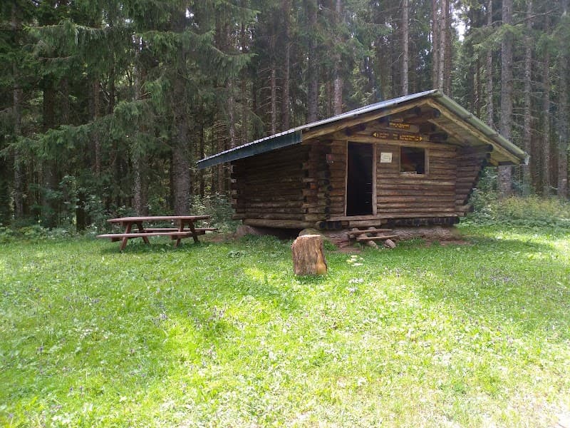
shelter marked on the IGN map but currently reduced to charred beams, unfortunately, along the Reverotte valley, in the Défilé des Épais Rochers, communal shelter with picnic area
Getting there
Communal shelter marked on the IGN map but currently reduced to charred beams. Destroyed by fire.
The setting
Along the Reverotte valley, in the Défilé des Épais Rochers (Doubs, 47.20°N 6.57°E, 492 m). Picnic area.
A bit of history
Shelter destroyed by fire; only charred beams remain.
What you'll find
eau courantebois