Bivacco Rosazza - Savoie
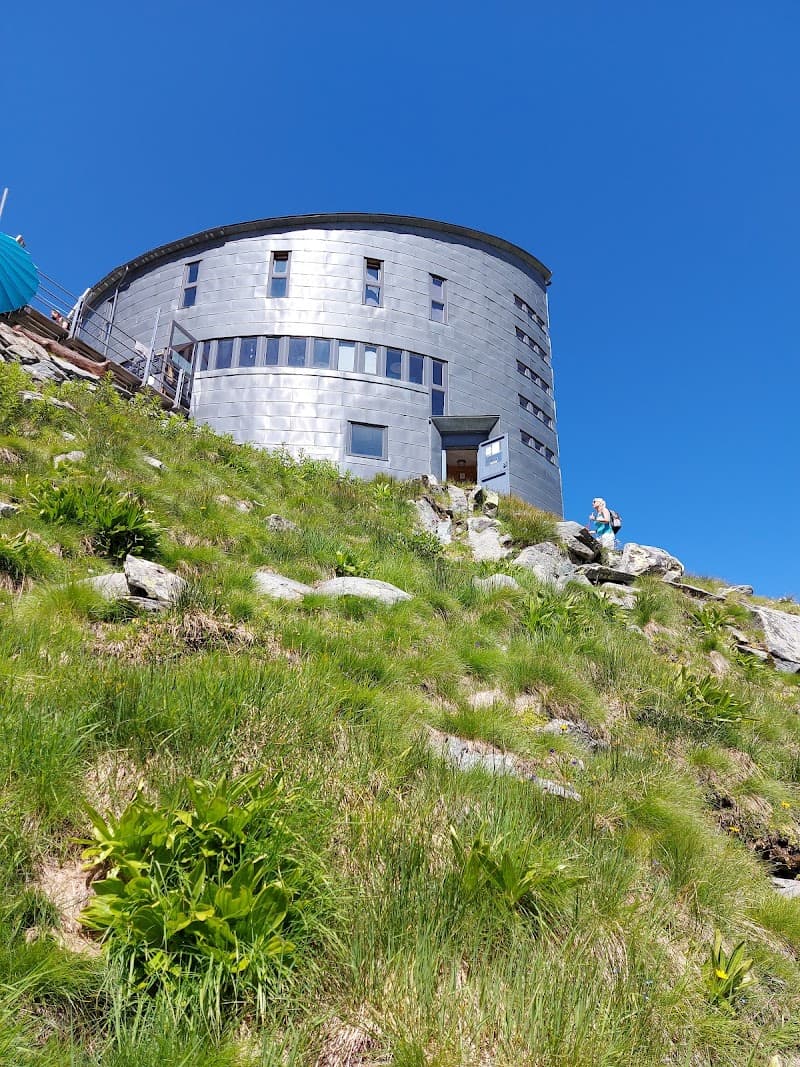
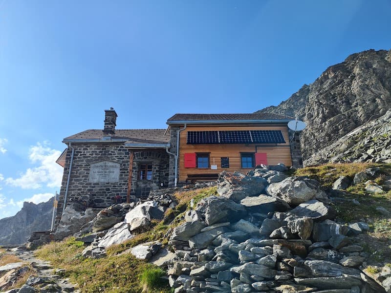
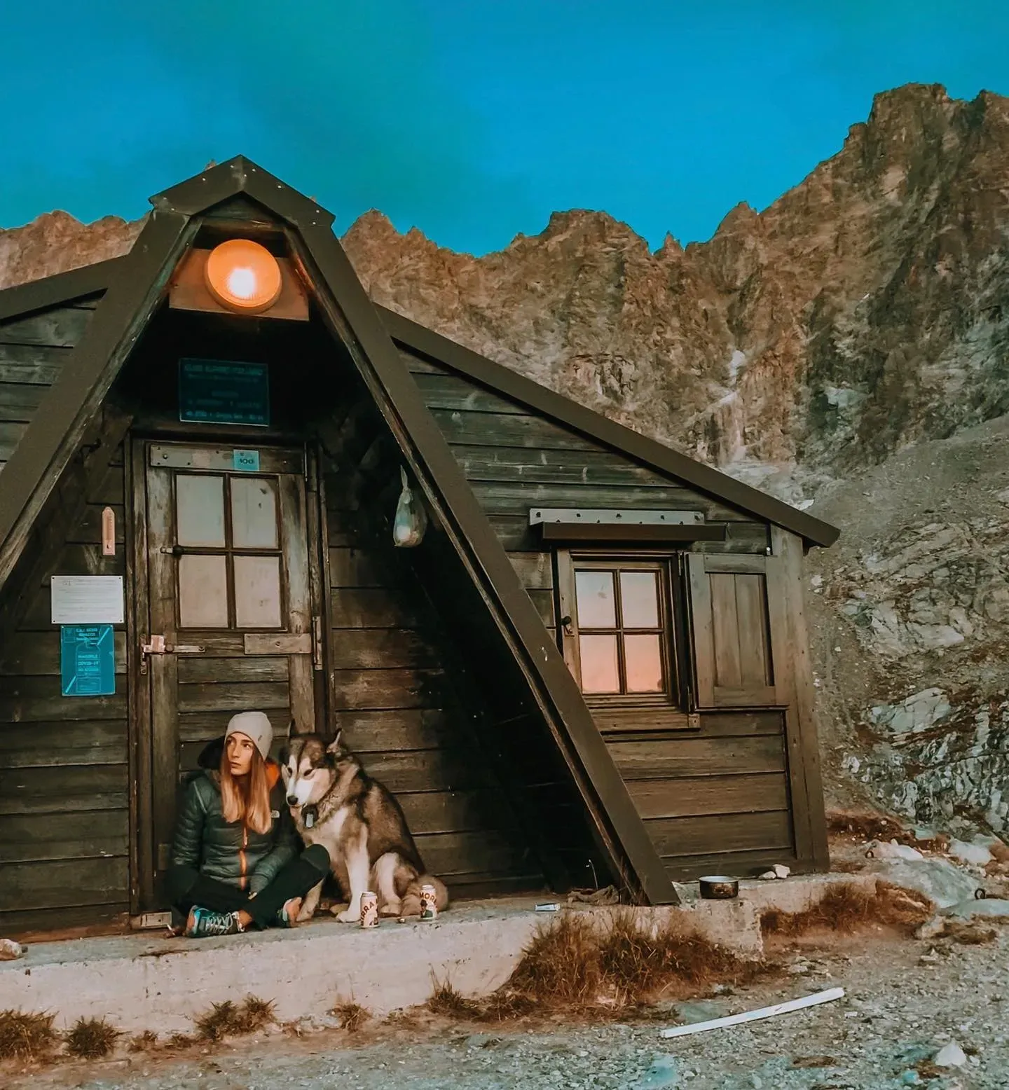
The place
Sleeping capacity: 16 Sleeping spots on mattresses: 16 Indoor equipment: - 2 large sleeping platforms with mattresses - 2 large tables (picnic-table style) in wood with benches - blankets in number Water: A captured spring, see [->5938], brings water to the bivouac. I knew the old wooden bivouac clad in sheet metal, built in 1965 by Savoyard scouts (hence the name), which had 4 spots (cramped...) The new structure offers 16 spots (more can fit...) on sleeping platforms with mattresses and blankets; the other amenities are unknown to me. There is surely no stove. As for water, the small trough placed out front (photo) is probably inactive in winter, so one will likely have to make do, as in the past, with either the water trickling in the valley below or with melted snow... Base for the normal route up Mont Vélan from Italy. In 1978, a large cornice made it impossible to cross the Col de Valsorey directly, and it had to be avoided by taking, on the left, 200 m before reaching it, a kind of scree gully leading directly to the ridge around the 3221 m point. You can also reach the Refuge Amiante by skirting northeast, below the Aiguilles de Valsorey, around the entire upper part of the Combe de By, to cross the Col Garrone (4 hours, loose rock). From Glassier: From Aosta, head toward Valpelline, where you take the turnoff toward Ollomont, continuing past it to Glassier, where you leave the cars. A yellow-marked trail heads north toward the By alpine pasture. Once you reach the dam built at the top of the rock sill, use its crest to cross to the opposite bank. From there, head west, gradually climbing toward Porchère (pasture) at 2102 m. To the northwest, you'll spot a large grassy ridge separating the By valley from another one further west (extension of the SSE ridge of the Trois Frères). It is on this ridge, climbing up its left flank, that the trail rises, up to a grassy terrace where the shelter is built, which you only see at the last moment. It will have taken a good 4 hours from Glassier. From the track that starts on the left 100m before Glassier: The bivouac is signposted (yellow markings). The bivouac is reached by starting from this track, which heads toward the waterfall; the trail is yellow-marked and leaves the track to climb back up this glacial rock sill; on the flat area above, stay on the left bank of the stream to climb the valley to the north, passing beneath a sheepfold, then rejoin the track that leads to the By alpine pasture, a track you'll quickly leave to keep heading north toward the Pointe trifide des 3 Frères, climbing the pasture, with the bivouac visible, perched atop the grassy knoll at the east foot of this peak. Full name of the bivouac: Maria Christina Rosazza. Owner: Société des Guides de la Valpelline Contact for information about this bivouac: - Pietro Giglio (High Mountain guide) - Mobile: +39 335 6…