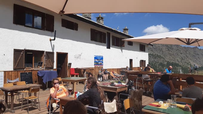
Bergerie, Pendente Dessus
Aoste · Italie0 mUnguardedVerified listing
The place
The building includes an open cellar that can serve as an emergency shelter. From below: path from the Roese de Bantse vale. From above: farm track from the path descending from the Cimetta Rossa / Cime Rousse. Map no. 11 L'Excursionniste. Publisher Champorcher Mont Avic. Private sheepfold
Getting there
Private sheepfold. The building includes an open cellar that can serve as an emergency shelter.
The setting
From below: path from the Roese de Bantse vale. From above: farm track from the path descending from the Cimetta Rossa / Cime Rousse. Map no. 11 L'Excursionniste, Champorcher — Mont Avic (Aosta Valley, 45.60°N 7.55°E, 2413 m, Italy).
What you'll find
eau courante