Refuge d'Arrémoulit
© FFCAM
The place
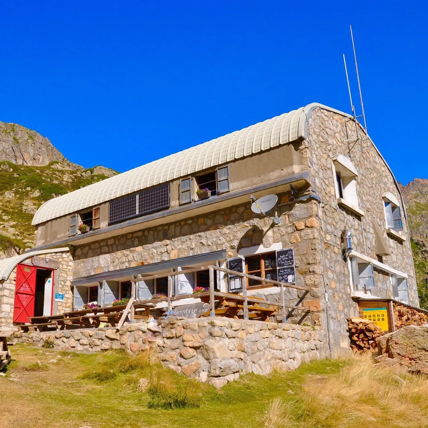
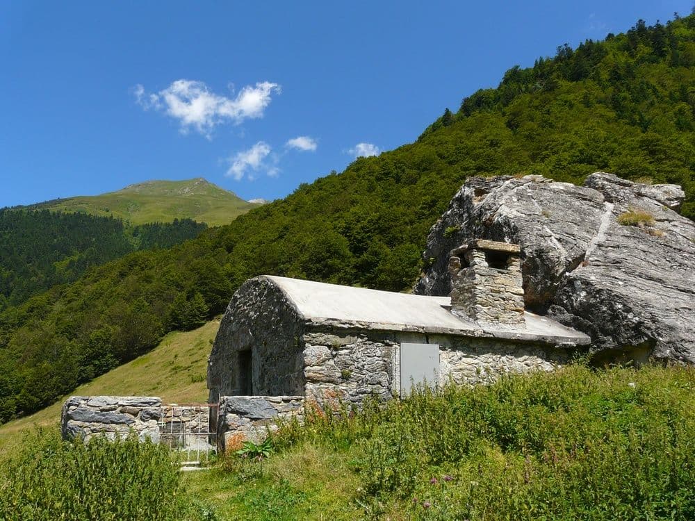
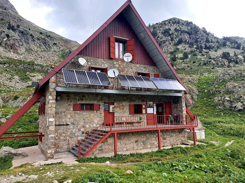
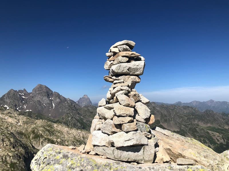
Capacity: 28. The refuge reopened in 2026 after major expansion and renovation. Only the original section (late 1920s) has been preserved. If the CAF's renovation projects interest you, you can download the current presentation brochure for the 2017-2026 ten-year renovation plan, still in effect. By car: From Pau, take the N134 to Gan. Then take the D934 toward Laruns. Go through Laruns and continue on the same road toward the Col du Portalet. You'll pass the Lac de Fabrèges on your left. Park 4 km past the lake, at the Caillou de Soques (a warning sign marks an avalanche corridor). Continue on foot from there. By public transport (July-August only): From Pau station, take bus 806 toward Gourette (Transports64, +33 0 800 64 24 64). Get off at the Laruns stop. Take bus 806bis toward the Col du Pourtalet (Transports64, +33 0 800 64 24 64). Get off at the "Socques" stop. Continue on foot from there. On foot: Caillou de Soques car park (1400 m). Head straight up a trail where a park sign indicates the Col d'Arrious at 2 h 30. Cross a footbridge (1560 m). Ruins of the Cabane d'Arrious (1740 m). Cabane du Quèbe d'Arrious (1890 m), occupied by a shepherd. Col d'Arrious (2259 m). Don't descend — follow the trail that keeps climbing toward the south-east. At the Lac d'Arrious, follow the trail as it starts to become exposed heading east. Once past the Passage d'Orteig, head west (off-trail, a few cairns) on a gentle descent. The refuge eventually comes into view. CAF de Pau. Keepers (2016): Tel: 05 59 05 31 79 or 06 32 41 23 82, Eric Courgeon and Rozenn Olichon. Email: refugedarremoulit@ffcam.fr. Official website: http://refugedarremoulit.ffcam.fr/
Getting there
4 itinéraires principaux. (1) Depuis le Lac de Fabrèges (parking 1250m, télécabine/petit train d'Artouste juin-octobre) : 3,4 km, +375 m D+, 1h15, sentier facile et bien balisé. (2) Depuis Caillou de Soques via Col d'Arrious (le plus fiable) : parking 1410m, 7,5 km, +1065 m D+, 4h, sentier facile. (3) Depuis La Sarra côté espagnol : parking 1140m, 9,5 km, +1235 m D+, 4h30, terrain raide avec câbles et échelles, passage d'Orteig exposé. Altitude du refuge : 2265-2305 m selon la page (légère divergence interne au site).
The setting
Le refuge est situé au bord du lac d'Arrémoulit (site lacustre), au pied de la face du pic Palas (2 974 m), au cœur du Parc national des Pyrénées. Les sommets environnants incluent le pic du Balaïtous (3 144 m) et les Frondella (3 063 m). Le refuge est une étape clé de la Haute Route Pyrénéenne (HRP) et sert de camp de base pour les ascensions du Palas et du Balaïtous.
A word from the warden
Gardiens 2026 : Emilie Moura et Millán Ibáñez Alcayne. « Nous serons heureux de vous accueillir là-haut pour partager avec vous notre amour de la montagne. » Philosophie de sobriété et de respect du milieu : pas de wifi, usage de l'eau limité, baignade dans le lac interdite.