Ansbacher Hütte
The place
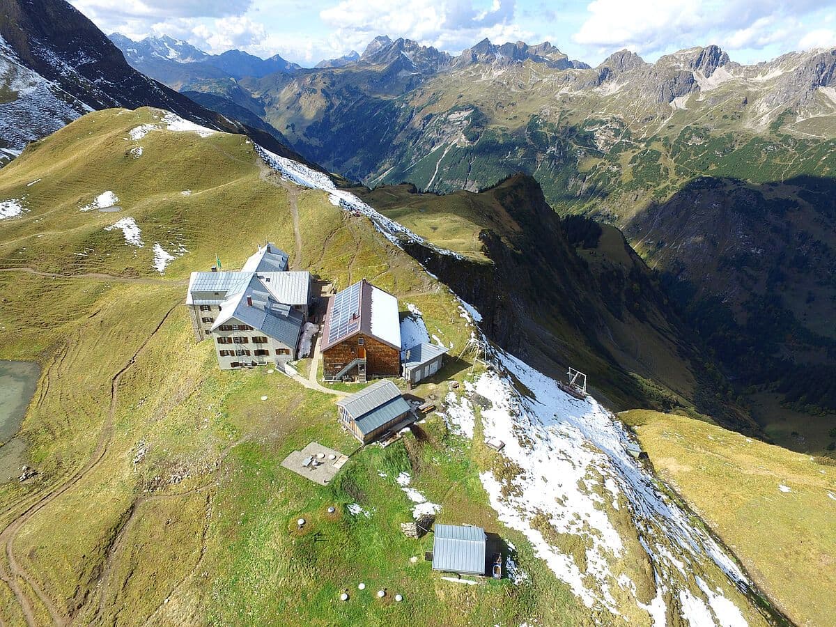
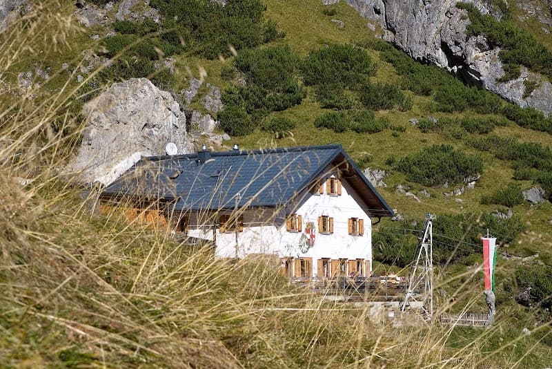
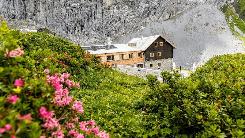
Ansbacher Hütte: A Gem of the Lechtal Alps The Ansbacher Hütte is a mountain hut belonging to the local Ansbach section of the Deutscher Alpenverein, located in the Lechtal Alps, in the Tyrol, Austria. Location Built in 1906, the Ansbacher Hütte stands at 2376 meters elevation on the southeast slope of the Samspitze, in the municipality of Flirsch, on the border with Pettneu am Arlberg. Access From Schnann, ascent on the south slope via the Fritzhütte (1800 m), 3½ hours' walk. From Schnann, along the Schnanner stream to the Alperschon pass and via the Flarsch pass, 4 hours' walk. From Flirsch, ascent on the south slope, 4 hours' walk. From Bach via Madau, the Alperschon valley up to the Knappenboden, then via the Flarsch pass, 5 hours' walk. Neighboring Huts and Connections To the Kaiserjochhaus via Flarschjoch, Alperschonjoch, Hinterseejoch and Kridlonscharte, 4½ hours. To the Memminger Hütte via the Winterjoch and the Grießscharte, 5½ hours. To the Simmshütte via Flarschjoch, Stierlahnzugjoch and Kälberlahnzugjöchl, 4½ hours. To the Augsburger Hütte via the Augsburger high route, 8-10 hours. Summits Samspitze (2624 m), waymarked path, ¾ hour. Feuerspitze (2851 m), waymarked path, 3 hours. Freispitze (2884 m), pathless, climbing up to grade II, 4½ hours. Grießlspitze (2830 m), pathless, climbing up to grade II, 2 hours. Vorderseespitze (2889 m), pathless, climbing up to grade II, 3½ hours. Fallenbacherspitze (2723 m), pathless, climbing up to grade II, 3 hours. Stierkopf (2589 m), unmarked path, ½ hour. Maps and References Alpenverein map 3/3 Lechtal Alps - Parseierspitze (1:25,000). Weiss, Jauernig, Meindorfer: "100 Years of Ansbacher Hütte - Gem of the Lechtal Alps", DAV Panorama, April 2006. Useful Links Ansbach Section of the DAV website: [Link to the site](link_to_the_site)
Getting there
Quatre itinéraires principaux : depuis Schnann via la Fritzhütte (environ 3h30) ; depuis Schnann le long du Schnanner Bach jusqu'au Flarschjoch (environ 4h) ; depuis Flirsch par le versant sud (environ 4h) ; depuis Bach via l'Alperschontal jusqu'à Knappenboden (environ 5h).
The setting
Situé à 2376m, dominant la vallée du Stanzertal et le massif du Verwall. Point de départ pour l'ascension de plusieurs sommets (Samspitze, Stierkopf, Vorderseespitze, Feuerspitze, Wetterspitze, Freispitze).
A bit of history
Refuge alpin construit en 1906, propriété de la section Ansbach du Club Alpin Allemand (DAV), situé sur le versant sud-est du Samspitze, massif du Lechtal.
A word from the warden
Gardienné par le couple Markus & Cornelia Falch. Ouverture saisonnière début juillet à fin septembre.