Abri forestier des Steussets
The place
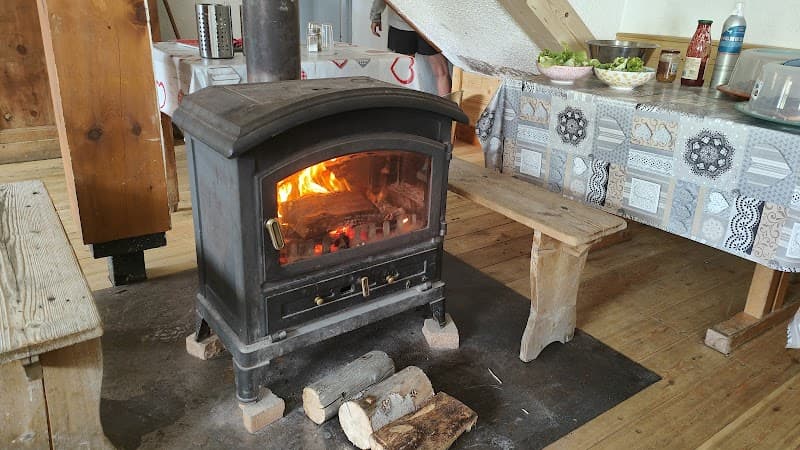
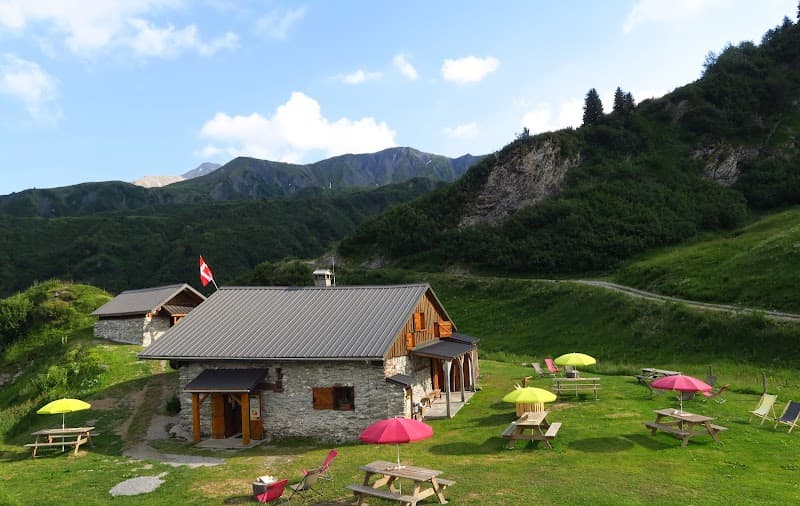
Unstaffed forestry shelter set at 1,450 m in the Chaîne des Aravis (Haute-Savoie), listed on IGN map 3531OT Megève / Col des Aravis. A remarkable position in the high Aravis summer pastures, in the area linking the towns of Manigod, La Clusaz, and Le Reposoir. A basic, free-access forestry building, with minimalist equipment typical of ONF mid-mountain shelters. A mineral and pastoral setting in the northern Prealps: limestone ridges, alpine pastures dotted with spruce, trails linked to the major Aravis-Bornes-Bauges traverses. Iconic Prealps wildlife: chamois, marmots, alpine ptarmigans, and golden eagles frequenting the grassy slopes. Located on the fringe of the Bornes-Aravis massif and close to the major hiking routes of the Reblochon region and the Pointe Percée (2,752 m).
Getting there
Aravis-Bornes trails from Manigod, La Clusaz, or Le Reposoir. IGN map 3531OT Megève / Col des Aravis.
The setting
Chaîne des Aravis (Haute-Savoie), high summer pastures, near the Pointe Percée.